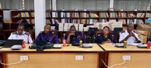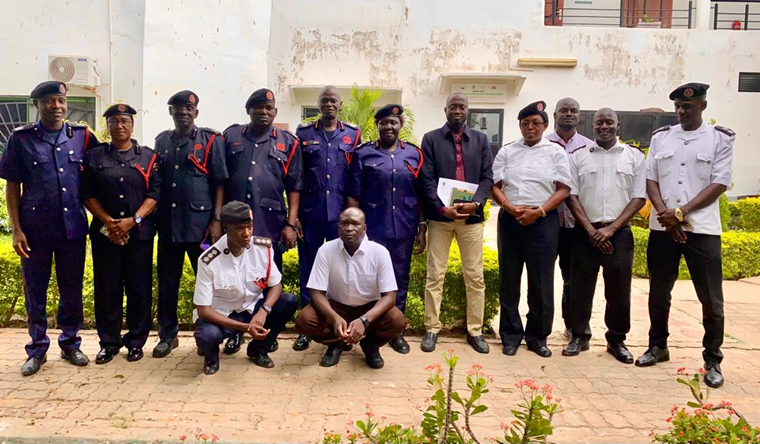
A validation workshop was recently concluded at the National Environmental Agency headquarters, marking a significant milestone in the development of Geographic Information System (GIS), Global Positioning System (GPS), and remote sensing technology. The workshop brought together senior members of the Gambia Fire and Rescue Services (GFRS) to review and validate the project’s outcomes. This initiative aims to enhance the GFRS’s capacity to respond to emergencies and deliver efficient services to the public.
The validation exercise was crucial in ensuring that the GIS, GPS, and remote sensing technology meet the GFRS’s operational needs and standards. The workshop provided a platform for stakeholders to review the project’s progress, identify areas for improvement, and provide feedback. The validation of the technology will enable the GFRS to make informed decisions, optimize resource allocation, and respond to emergencies more effectively. This, in turn, will boost the GFRS’s service delivery, ultimately enhancing the safety and well-being of Gambian citizens.
The successful validation of the GIS, GPS, and remote sensing technology will have a profound impact on the GFRS’s operations. It will enable the service to accurately map fire risk areas, track emergency response vehicles, and analyze data to inform strategic decisions. With this technology, the GFRS will be better equipped to respond to emergencies, reduce response times, and save lives. The validation workshop is a testament to the commitment of stakeholders to enhancing the GFRS’s capacity and improving service delivery to the Gambian public.